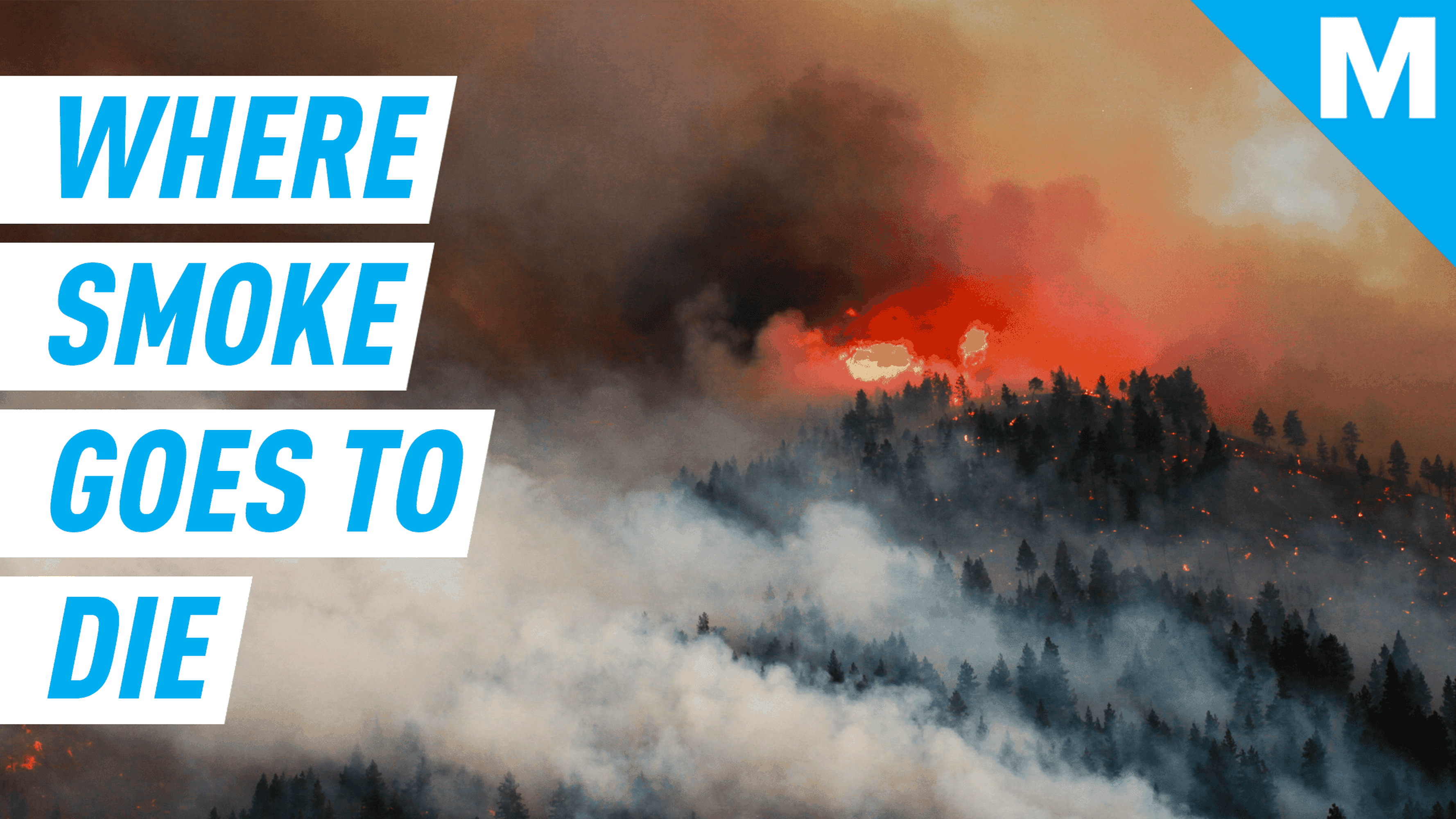

Raging blazes in both California and Colorado make Google’s new wildfire warning features all the more relevant.
The company’s crisis response team released an updated alert system for wildfires in Google Search and on Google Maps on Thursday. Instead of just a pin marking where a fire is located, a full boundary is now drawn out. The SOS Alerts that Google’s been posting during disasters since 2017 are now “a much richer, visual experience” when flames start spreading, said Ruha Devanesan, Google Search’s crisis response product partnerships lead, during a recent media briefing.
Now, when you look up directions or search a location on Google Maps the exact boundaries of a fire will show up. Google’s Earth Engine takes publicly available satellite data from the National Oceanic and Atmospheric Administration (NOAA) and visualizes it on the map. NOAA uses infrared sensors that are constantly scanning for literal hotspots. These “hot pixels” help Google decide where the boundaries of the fire is located. Once verified, the information is posted to Google Maps and will show up for any searches for “fire near me” or similar queries.
In situations with multiple fires burning simultaneously, like right now in Northern California, Google Maps can show them all on the map at the same time.

Drivers get re-routed if there’s a fire on the way.
Image: google

The maps now show clear fire boundaries.
Image: google
The fire location and boundaries aren’t the only information shared on the Maps app or webpage. For driving directions you’ll be routed around the affected area and have the option to tap on an alert that pops up for more information, like the latest news stories, evacuation orders, and updates from local authorities.
Can Comertoglu, product manager for Google Maps Crisis Response, acknowledged that Google Maps is repeating a lot of results from the search page, but says that “not everyone comes through Search.”

Disaster alerts come up on Google search results and on Maps.
Image: google
For now, Google’s updated wildfire maps are only available for the lower 48 U.S. states. In other parts of the country and the world, Google’s crisis team is also posting alerts for earthquakes, tropical storms, floods, and other disasters.