
Google Maps has had to adjust to life during a pandemic just like the rest of us.
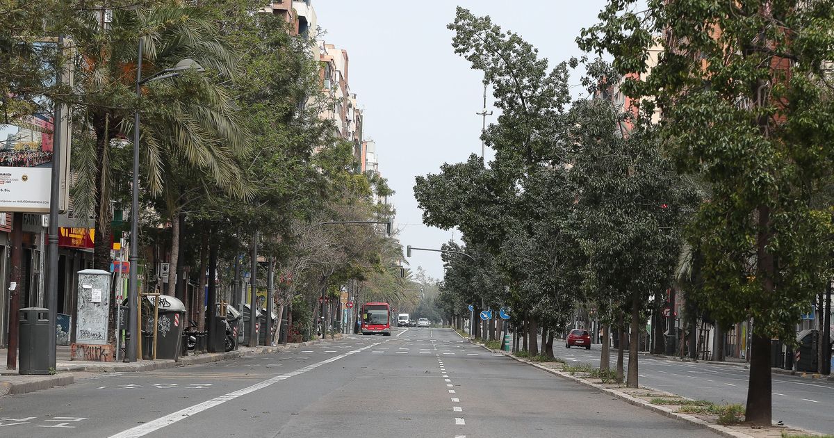
When the coronavirus outbreak first hit, traffic patterns were immediately and noticeably out of whack. Streets were weirdly empty without commuters, tourists, and people going to and fro. Buses and subways were abandoned in favor of bike rides and walks. Google noted a 50 percent decrease in worldwide traffic since the beginning of 2020, according to a company update Thursday.
While a lot of road activity has resumed in in the months since, it still looks different out there compared to our pre-pandemic lives.
Google Maps has been tracking all these differences in the 220 countries where the navigation app gives live traffic updates and traffic predictions. Morning and afternoon traffic patterns on which Google has years of data are suddenly irrelevant with so many commuters now working from home.
Because of new COVID-19 traffic patterns (think more traffic on a Friday evening to get out of town instead of weekday morning backups), Google Maps has had to change its traffic models to use more accurate data that accounts for the pandemic.
Instead of relying on historical patterns over time to predict traffic and to build a route, Google is now using more recent patterns from the past two to four weeks. Years of older driving data gets pushed aside since it’s not that helpful right now.
This also means that Google Maps will take into account that a previously congested street in San Francisco is closed to car traffic for more socially distanced dining and seating. Everything from the routes you take to traffic predictions on the maps app has to adapt to pandemic life.