
Google Maps Street View has been an engaging time-waster for many years, though it’s never been perfect. But, thanks to a new feature, it could get better at capturing obscure roads and paths going forward.
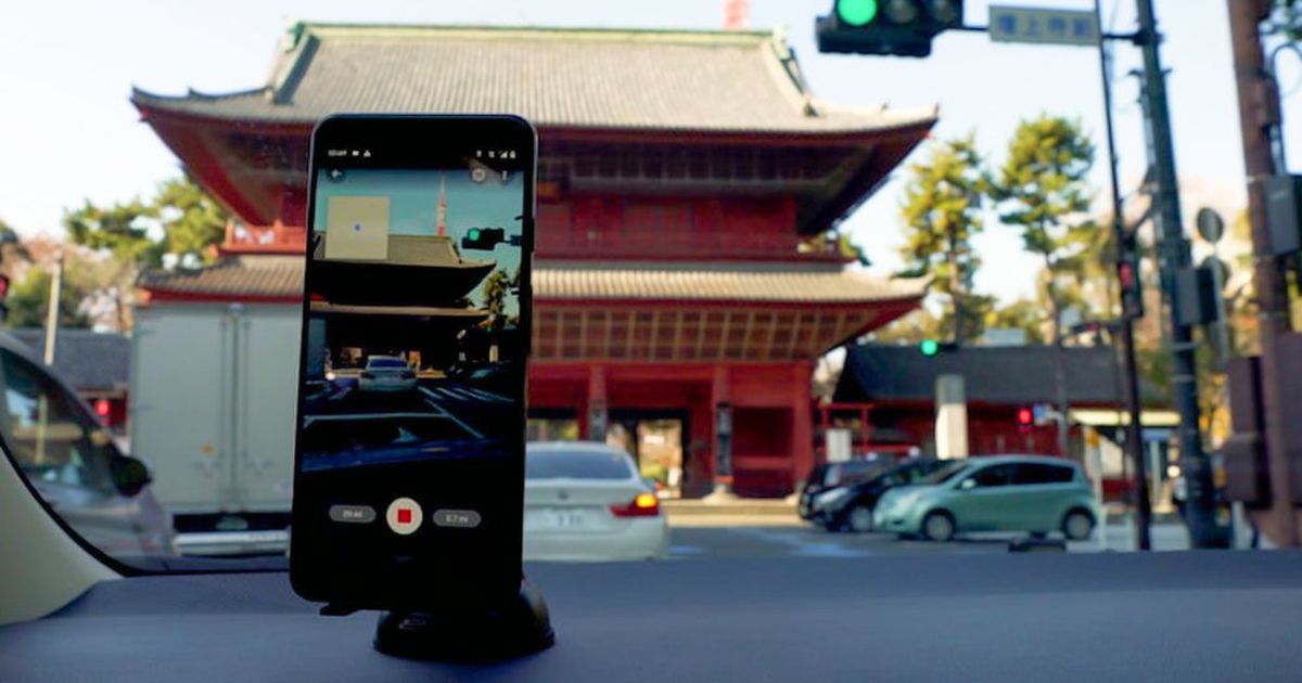
In a Thursday blog post, Google revealed a new beta feature that will allow users to submit their own photos, straight from their phones, of places that aren’t adequately represented by Street View. Using the Street View app, just take a series of photos as you progress down the road you’re trying to capture, and Google’s ARCore tech will supposedly stitch them together to make them work as a Street View experience.
Of course, there are some caveats. First and foremost, iPhone owners are out of luck for now. You’ll need an Android phone that’s compatible with ARCore; luckily, that applies to just about any mainstream Android phone from the past few years. We’ve reached out to Google to find out if there are plans to let iOS users in on the fun and will update this article as soon as we hear back.
Beyond that, this beta feature is only available in a handful of places at the moment. Users in Toronto, Austin, New York City, Indonesia, Costa Rica, and Nigeria have access to it through the Street View app. Be patient: Google said more regions would come in the near future.
For as long as Google’s had Street View vans roaming around the world, there are still plenty of places you can’t virtually visit using the service. I found this out during some recent VR excursions through Google Maps data. Here’s hoping crowdsourcing new Street View photos will make it a more complete experience going forward.