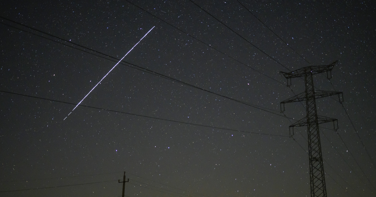
There isn’t a constellation quite like the image a line of Starlink satellites cuts across Earth’s skies. And now there’s an easy way to figure out when you can see them.
The SpaceX-operated gear is meant to one day provide high speed, satellite-powered internet all around the world. It’s already semi-functional and open for live testing (at quite a cost), but the eventual orbital network, which is already approved by the FCC, will consist of 12,000 satellites in all.
This raises some questions about what the sky will eventually look like for amateur and professional skywatchers alike. There’s also the risk of a “space junk”-related orbital catastrophe. For now, though, SpaceX is sending them to space in batches of 60 and lines of them are circling the planet in formations that are (under the right circumstances) clearly visible from the ground.
Now, thanks to one fan of skywatching and SpaceX, there’s a simple and easy-to-use website that tracks the course of each Starlink cluster. Find Starlink lets you visualize this in a few ways. There’s a live map that plots the course of each cluster as it travels around the Earth, so you can see roughly when one of them will be in your region of the world.
You can also select major cities from around the world off a list or punch in your exact latitude/longitude coordinates for a more specific rundown of dates and times. The website will respond with a list of days and times Starlink will be visible, as well as the direction they’re traveling and elevation off the horizon (in degrees) where they’ll be visible.
The site does warn that “these timings are not 100% accurate, since the orbit of the satellites changes often, and without warning.” The disclaimer also adds that, even if you’re looking in the right direction at the right time, other factors (such as the amount of sunlight reaching the satellites) also play a role in your ability to see something.
The Find Starlink help page also notes that the tracking here doesn’t cover every Starlink satellite launched so far. As the site’s creator, cmdr2, notes: “These 60 satellites initially fly in a ‘chain’ formation, but over time they spread out and move to their own orbits. The older chains like Starlink-1, 2, 3 etc have spread out and are no longer visible as a chain, that’s why this app doesn’t include them anymore.”
That’s another reason why skywatchers ought to take note of this tracking tool. The Starlink deployment that’s underway isn’t going to last forever, with the service expected to be operational sometime in late 2021 or into 2022. So if you want t o see the unusual phenomenon of 60 satellites doing their very own orbital conga line, now is your chance.
