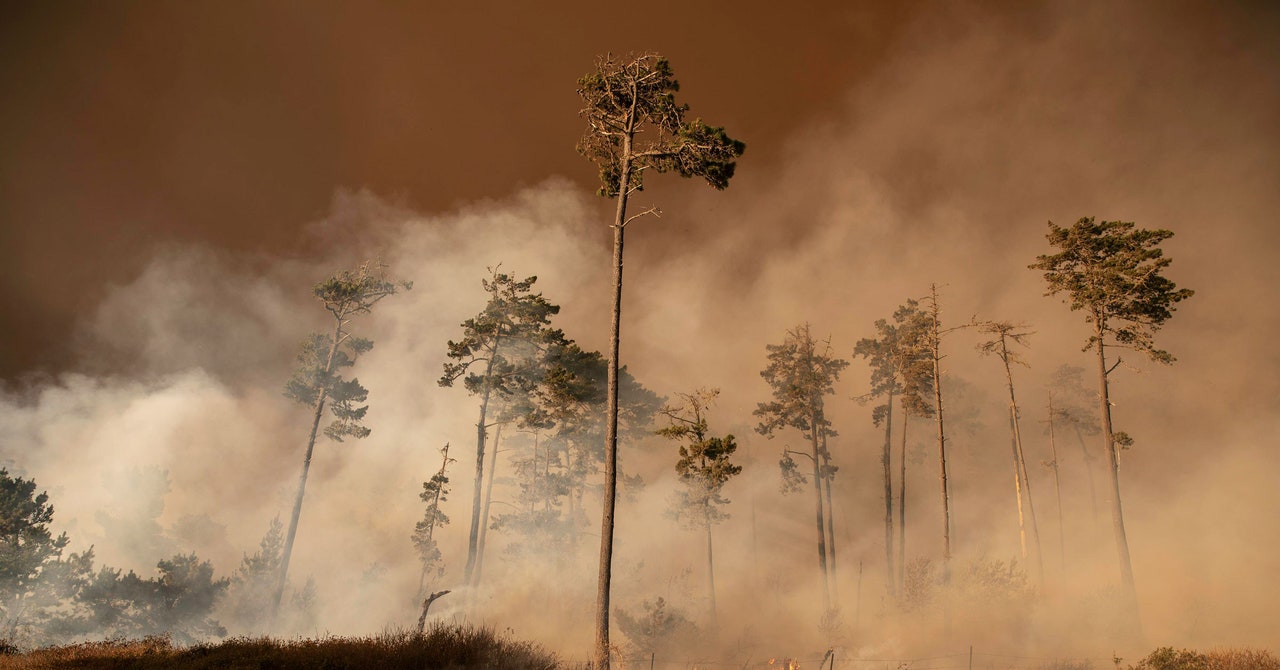
Then the wind, a critical component in spreading wildfires, went haywire. “Even though the surface winds were pretty weak, there was a low-level jet above the mountains,” says Craig Clements, a fire weather researcher (and fire chaser) at San Jose State University. This turbulence produced high winds that then mixed down at the surface, creating gusts. Firefighters battling the blazes—already burning out of control, thanks in part to the effect of the NDE—had the fires go squirrelly on them as the blazes reacted to changes in wind. “They were reporting erratic fire behavior,” Clements says. “And that’s due to potentially this low-level jet that was occurring over the region, and this dry air that had moved into the region at night.”
These wildfires even create their own weather, further changing wind patterns. “They get so big that they can create their own sorts of weather patterns because of all the heat and moisture release,” says Nick Nauslar, a meteorologist at the National Interagency Coordination Center, which helps mobilize resources for wildfires in the US. “And you get a very turbulent environment. Winds become erratic, and also stronger than they normally would be, because you’ve just put this huge fire in a complicated landscape.”
Think about a campfire: As the fire heats the air, it rises up through the treetops, carrying smoke and embers with it. Now, scale that up into a fire that’s consuming a whole landscape, and you’ve got great masses of hot air barreling into the sky, strong enough to loft twigs and deposit them miles away. This creates an area of low pressure around the fire. As air rushes in to fill the void, fire-induced winds form. “And it can do it in very complex and unpredictable patterns, due to the complex nature of where the fire is on the landscape,” says Nauslar.
This can turn downright apocalyptic when a wildfire spawns a fire tornado, like the one that twirled last Saturday in the Loyalton Fire north of Lake Tahoe. If layers of wind start moving around a fire in opposite directions, they create shear. “That can cause a circulation where it’s rotating, or spinning, like a tornado,” says Clements. These winds at the fire front can be up to five times stronger than ambient winds. “The fire-induced wind is what we suspect is really driving the fire spread,” Clements adds, “but that dynamic is not well forecasted.”
Way up in the atmosphere above a wildfire, phenomena can grow all the more bizarre. As a wildfire spews smoke, the vigorous updraft carries the particles high into the atmosphere. Here they act as condensation nuclei, attracting water molecules to form a towering cloud. “If it’s deep enough, it becomes pyrocumulonimbus, because it becomes a thunderstorm,” says Clements. Earlier this year, several of these thunderclouds actually formed from Australia’s unprecedented bushfires.
It’s concerning that California’s massive wildfires could spawn pyrocumulonimbus clouds that produce dry lightning—the exact thing that got the state into this mess. If that happens, they’ll have in a sense recycled that lightning energy and be using it anew, sparking still more fires in the surrounding area. “That and the winds associated with the development of these storms could cause the fire to move in different directions,” says Clements. “So it makes it very dangerous, plus the potential for more ignitions.”
And still more potential for ignitions is literally on the horizon. This Sunday, new thunderstorms will swing into the region as Tropical Storm Genevieve moves north. The new system is following a similar path as the system that produced the first round of thunderstorms. As these tropical systems drift northwest and hit cooler water, “they begin to fall apart and they lose all their storm characteristics,” says Mayeda, the NBC Bay Area meteorologist. “And sometimes if the conditions are right, they come in across California in a way that can generate dry lightning.” The National Weather Service has issued a fire watch for Sunday through Tuesday across the Bay Area and south to Monterey, warning that new wildfires sparked by dry lightning are likely. That could create still more hazards for firefighters on the ground.
Astonishingly, California’s wildfire smoke has now wrapped around Genevieve, as you can see in the image above. Thick smoke has thoroughly blanketed virtually the entire western US and reached Canada. Light smoke has even made its way to New York (light blue in the image above). “California has become a huge exporter of smoke,” says Mayeda. All while the US struggles to contain Covid-19, in part a respiratory disease: Wildfire smoke may predispose people to contracting a respiratory illness and exacerbate symptoms.
More Great WIRED Stories
