Over the years, using its Earth-observing satellites, NASA has collected huge amounts of highly complex data about our planet, tracking climate change, monitoring wildfires, and plenty more besides.
But making sense of it all, and bringing it to the masses, is a challenging endeavor. Until now, that is.
Harnessing the power of generative AI, NASA has teamed up with Microsoft to create Earth Copilot, a new AI-powered chat tool specifically designed to simplify how users access complex geospatial satellite imagery and data, potentially unlocking new insights and discoveries.
While only a limited number of researchers and scientists can currently make sense of the data, Earth Copilot will bring it to an almost an unlimited audience, with curious folks able to probe the tool with questions for an exchange that’s conversational in tone, similar to how you might already use ChatGPT or other similar generative-AI chat tools.
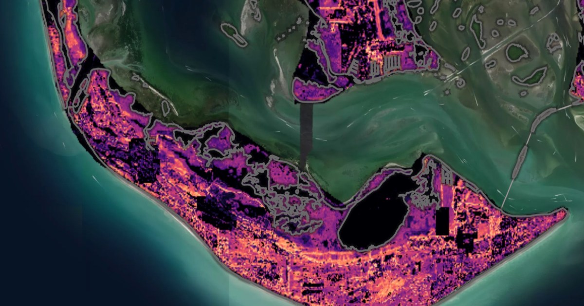
Microsoft suggests that users might simply ask questions like: “What was the impact of Hurricane Ian in Sanibel Island?” or, “How did the COVID-19 pandemic affect air quality in the U.S.?” Earth Copilot will then dive into the relevant datasets before offering an answer that should be relatively easy to digest.
“NASA’s Earth Science Data Systems Program is responsible for collecting an incredible variety of data from spaceborne sensors and instruments,” Microsoft said in an article introducing Earth Copilot. “This data spans everything from atmospheric conditions to land cover changes, ocean temperatures, and more. However, the sheer scale and complexity of this information can be overwhelming. For many, finding and extracting insights requires navigating technical interfaces, understanding data formats, and mastering the intricacies of geospatial analysis — specialized skills that very few non-technical users possess. AI could streamline this process, reducing time to gain insights from Earth’s data to a matter of seconds.”
Currently, Earth Copilot is being tested by NASA scientists and researchers to ensure its safety and reliability.
The next step will be to integrate it into NASA’s Visualization, Exploration, and Data Analysis (VEDA) platform, which makes it easier for users to search, discover, and analyze data related to Earth science.
Services Marketplace – Listings, Bookings & Reviews
