
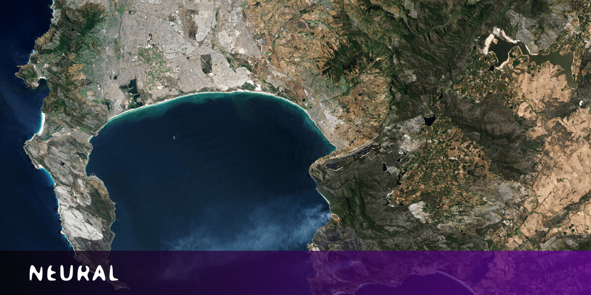
A new AI tool can track poverty levels in African villages over time by scanning satellite images for signs of economic well-being.
The tool searches the images for indicators of development, such as roads, agriculture, housing, and lights turned on at night. Deep learning algorithms find patterns in this data to measure the villages’ wealth.
Researchers from Stanford University tested the tool on about 20,000 villages across 23 countries in Africa that had existing wealth data. They say that it successfully estimated the poverty levels of the villages over time.
[Read: AI detects plastics in the oceans by analyzing satellite images]
Identifying these patterns of growth can show why some places are doing better than others. Those insights could help develop social programs that fit a place’s needs.
Filling gaps in data
The researchers believe their system could measure economic well-being in areas where reliable data is lacking.
“Amazingly, there hasn’t really been any good way to understand how poverty is changing at a local level in Africa. Censuses aren’t frequent enough, and door-to-door surveys rarely return to the same people,” Professor David Lobel told Stanford News.
“If satellites can help us reconstruct a history of poverty, it could open up a lot of room to better understand and alleviate poverty on the continent.”
The team envisions government agencies, NGOs, and businesses using the tool to target services and products to specific types of people. It could also help them work out the effectiveness of anti-poverty programs.
Even if it never makes it into any of their hands, the system could deepen our understanding of what affects economic well-being around the world.
Published May 22, 2020 — 13:21 UTC