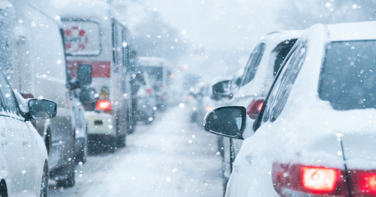
Over the past weekend, when weather models first started forecasting a winter storm that would sweep over large parts of the country, Sean Sublette, a meteorologist living in Virginia, started telling people in his area to prepare for snow. At the time, Sublette says, “a lot of the data started to point to a substantial snow storm for the mid-Atlantic and the Northeast, with significant ice farther southward into Carolina’s Tennessee Valley.”
Then, Sublette woke up Wednesday morning. “I go through the data again, and I go, ‘Oh, fuck,’” he says. The models were now structuring the storm much differently.
“Some of the data is putting down crippling amounts of ice for my area of central Virginia,” he says. “This does not mean I am buying it hook, line, and sinker yet. But it is a sobering chunk of data to suggest heavy freezing rain, which is that type of precipitation that’s liquid until it touches something and then freezes. That’s the stuff that weighs down power lines. That’s the stuff that weighs down the trees and brings them over on top of the power lines.”
Meteorologists who spoke to WIRED say that it’s still too early to pinpoint exactly how this weekend’s storm is going to affect different regions of the country. But, they say, people in several states should begin thinking ahead to the weekend and next week, and keep an eye out for more up-to-date forecasts from local trusted sources over the next few days.
On Wednesday morning, the National Weather Service issued a series of possible forecasts—what it called “Key Messages”—on the upcoming storm, predicting heavy snow starting on Friday falling from the Rocky Mountains and Plains regions and moving to the East Coast on Sunday. Freezing rain and sleet are projected to hit states south of the snow zone. Maps provided by the NWS show the storm hitting nearly 30 states, from as far west as New Mexico and Texas, all the way up to Maine and as far south as Georgia.
There’s still a lot of uncertainty about how the storm will form and how it will affect specific areas. “We know that this storm system is absolutely waterlogged,” says Matthew Cappucci, an atmospheric scientist and meteorologist, who contributes to The Washington Post’s Capital Weather Gang. The system, Cappucci says, gathered up a lot of moisture from the Gulf of Mexico, guaranteeing some form of precipitation for much of the southern and eastern United States. But there’s still uncertainty about how other atmospheric elements will shape the storm. That includes a cold, low-pressure eddy of air in the higher levels of the atmosphere (called, in meteorologic speak, an upper level low) that’s forming over the Pacific, whose formation will help determine how and where precipitation will fall.
“A wide swath of the southern and eastern United States will see 2-plus inches’ worth of water,” says Cappucci. “Whether that comes down as rain, snow, sleet, freezing rain, or a combination remains the wild card.”
The National Weather Service’s announcements are not winter weather warnings, Sublette says, but “messages”; forecasts will get more specific as the storm keeps developing. But there’s enough data available to start preparing for worst-case scenarios. Many of the regions that could be hit by the storm are historically underprepared for extreme winter conditions: A 2014 ice storm that swept across portions of Georgia and South Carolina left some areas without power for days. This storm will hit just a few weeks shy of the five-year anniversary of a winter storm in Texas that caused a two-week power outage and ultimately killed nearly 250 people.
Services Marketplace – Listings, Bookings & Reviews
